 vesseltracker.com
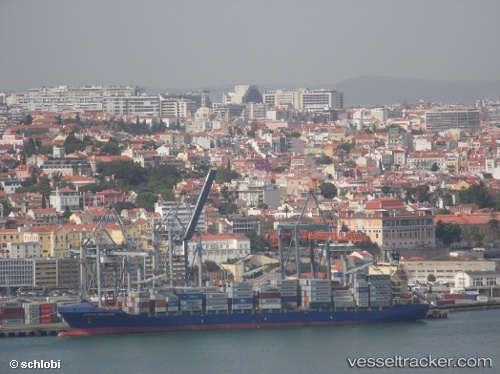
Vessel MSC SAMIRA III IMO: 9434462, MMSI: 636020952 Container Ship
UTC, 11.30620, -75.82860, course: 246, speed: 10.7
UTC, 11.13069, -76.25999, course: 247, speed: 10.4
2026-02-23 15:30:51 UTC, 11.03611, -76.49389, course: 244, speed: 10.3
Live AIS position:
UTC. 68 nm NW of Sociedad Portuaria Regional Cartagena),
updated 2026-02-23 15:30:51 UTC.
Find the position of the vessel MSC SAMIRA III on the map. The latter are known coordinates and path.
marine traffic ship tracker show on live map
The current position of vessel MSC SAMIRA III is 11.03611 lat / -76.49389 lng. Updated: 2026-02-23 15:30:51 UTCCurrently sailing under the flag of Liberia
MSC SAMIRA III built in 2009 year
Deadweight:
34296 tDetails:
Last coordinates of the vessel:
UTC, 11.38795, -75.65523, course: 241, speed: 10.7UTC, 11.30620, -75.82860, course: 246, speed: 10.7
UTC, 11.13069, -76.25999, course: 247, speed: 10.4
2026-02-23 15:30:51 UTC, 11.03611, -76.49389, course: 244, speed: 10.3